Pasadena “Park and Walk”

This map was created by Emma Clifford with data from LA County GIS Data Portal. This shows where Pasadena and South Pasadena are in relation to LA County.
This map was created by Emma Clifford using Data from LA County GIS Data Portal. This shows the boundary for Pasadena and South Pasadena, as well as the final parcel.
This map was created by Emma Clifford using data from LA County GIS Data Portal. This map shows the points of interest and main roads and bikeways near the parcel to show where the access points are.

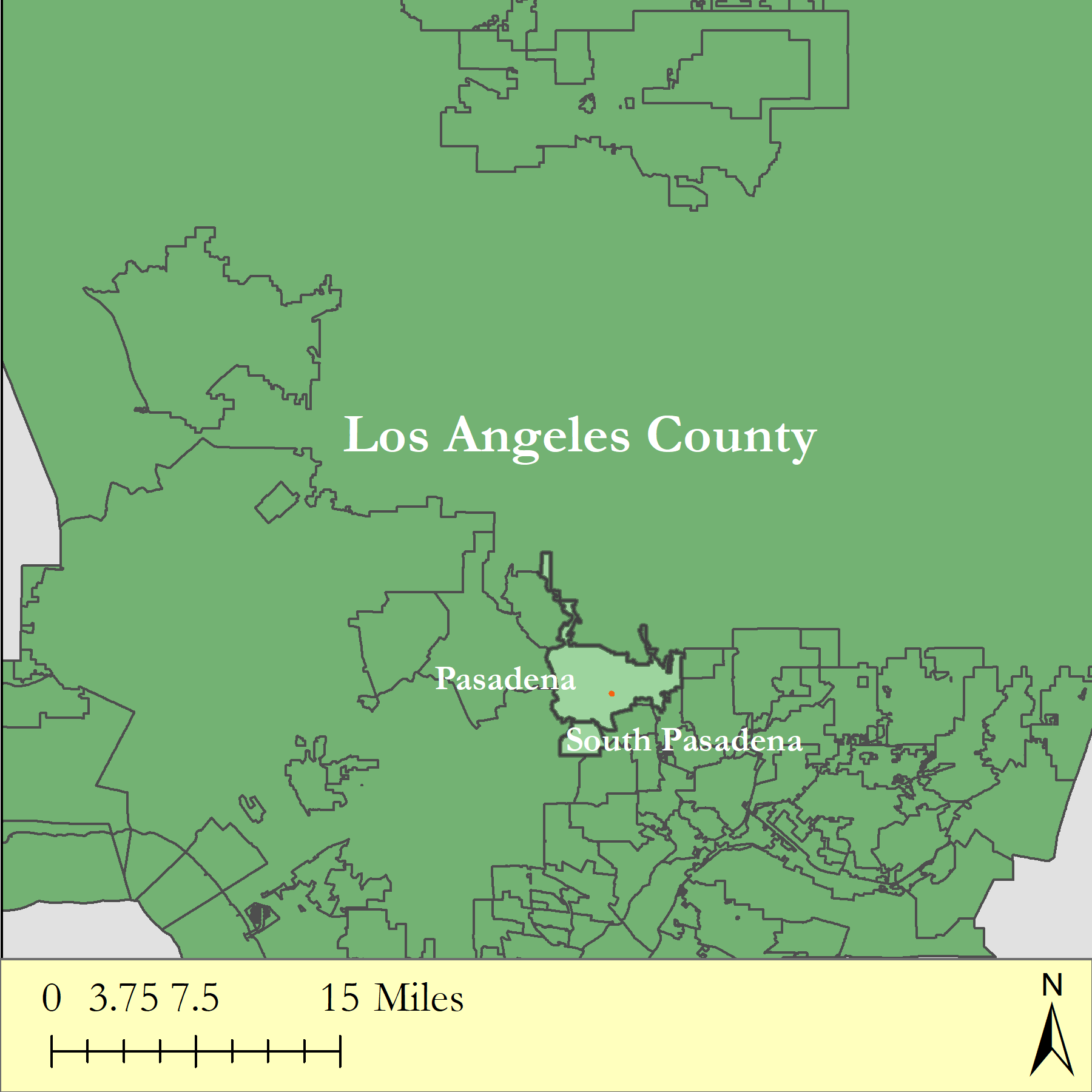
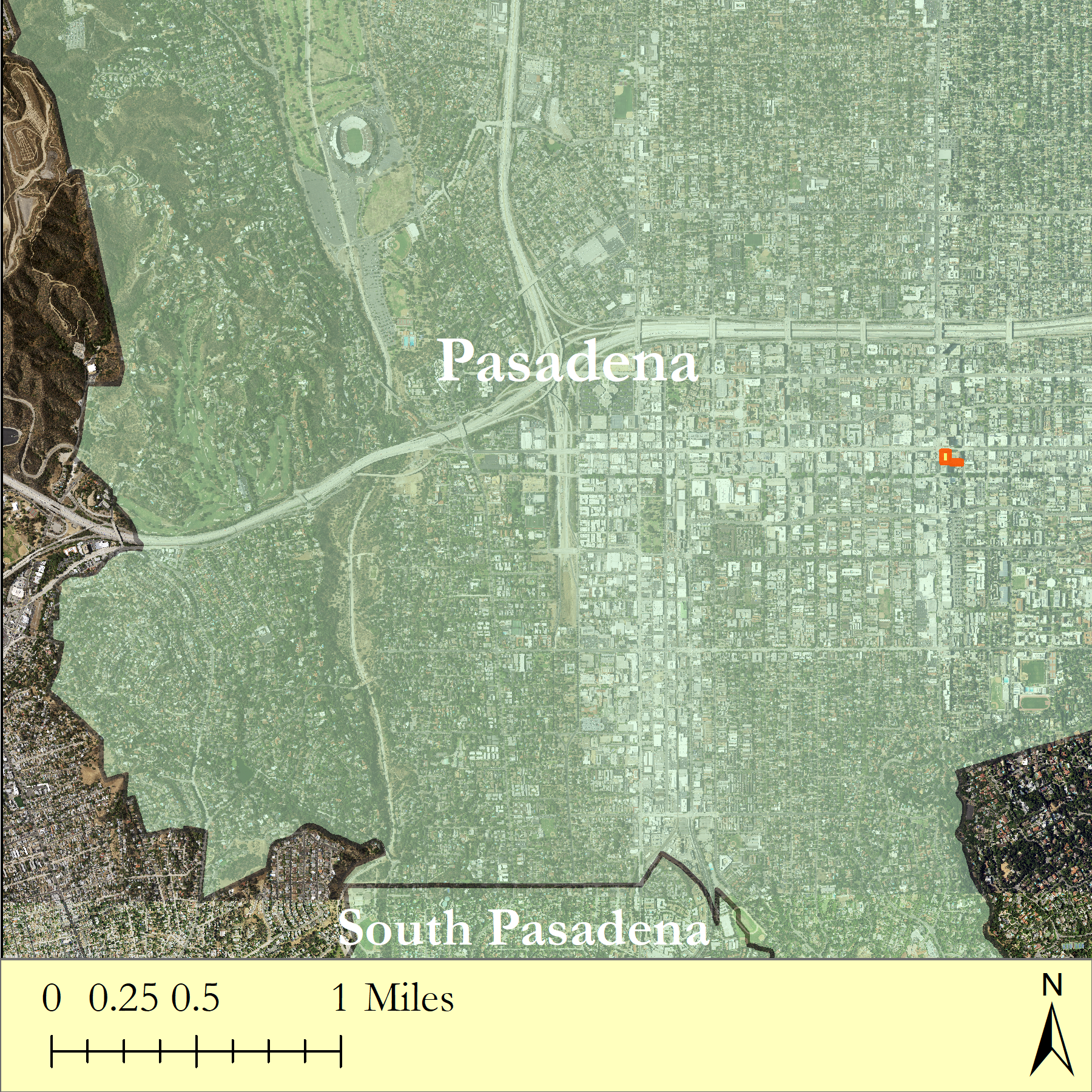
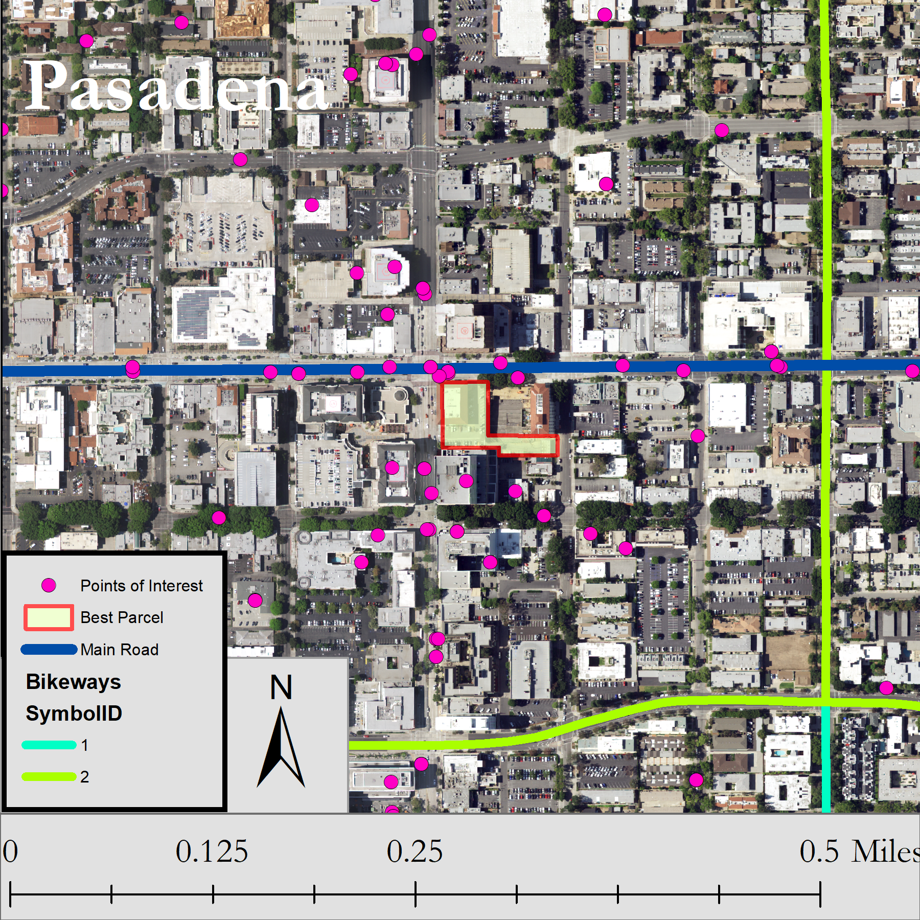
This map was created using data from LA County GIS Data Portal. This is a locator map to show where the final parcel is in relation to the rest of Pasadena and South Pasadena.

About Me

I am a student at HSU and I am a senior. I am interested in:

  • Succulent hybridizing, succulent propagation, succulent stem propagation, and horticulture.
  • Bioremediation of heavy metals from the environment with mushrooms and plants.
  • Biodiversity and use of permaculture and aquaculture in homesteading to create a balanced environment.
  • Grant writing for non-profits such as farm-to-school programs and animal shelters for disaster remediation.
Design a site like this with WordPress.com
Get started