-
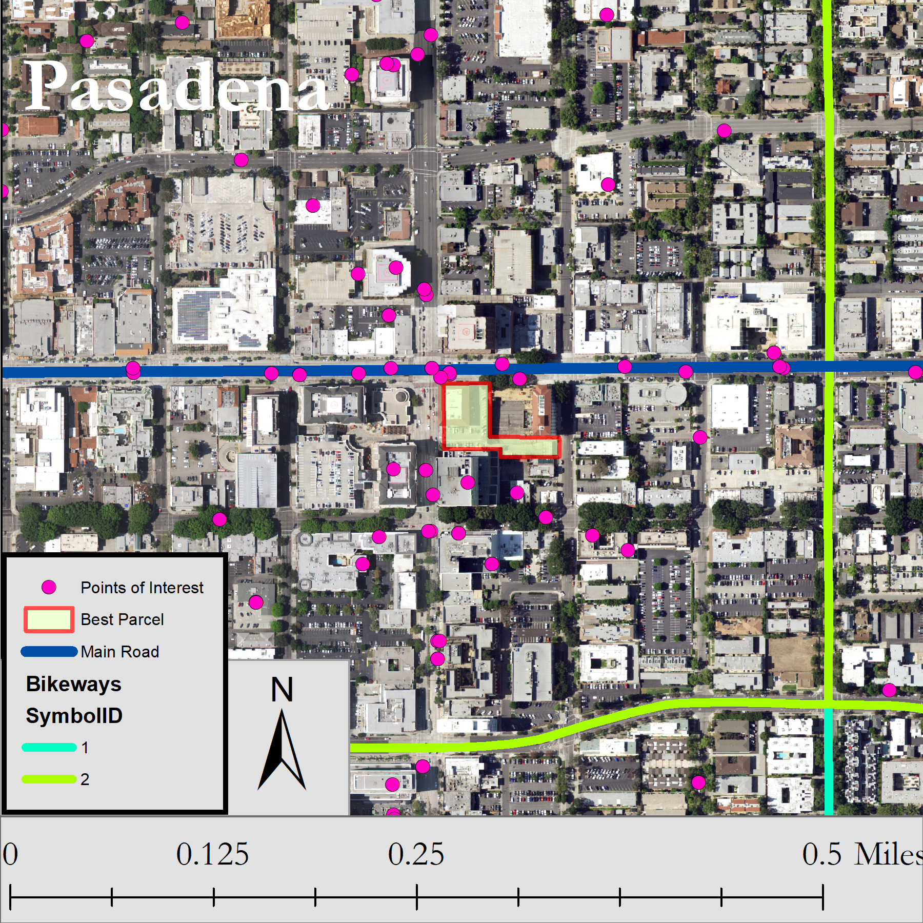
Pasadena “Park and Walk”
This map was created using data from LA County GIS Data Portal. This is a locator map to show where the final parcel is in relation to the rest of Pasadena and South Pasadena.
-
About Me
I am a student at HSU and I am a senior. I am interested in: Succulent hybridizing, succulent propagation, succulent stem propagation, and horticulture. Bioremediation of heavy metals from the environment with mushrooms and plants. Biodiversity and use of permaculture and aquaculture in homesteading to create a balanced environment. Grant writing for non-profits such as… Read more
Follow My Blog
Get new content delivered directly to your inbox.
